


25 km | 35 km-effort


Benutzer


Kostenlosegpshiking-Anwendung
 SityTrail
IGN / Geografische Institute
SityTrail World
Die Welt öffnet sich für Sie
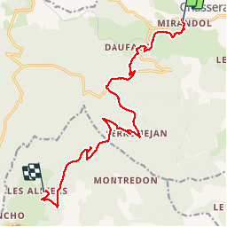
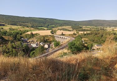
Tour Wandern von 15,8 km verfügbar auf Okzitanien, Lozère, Mont Lozère et Goulet. Diese Tour wird von motardes04 vorgeschlagen.
Temps de marche Marie 5h14.
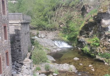
NB : j'ai fait le détour par les sources (pas inoubliables) du Lot et on s'est pris l'orage dans toute la redescente après la bifurcation vers les sources.
Calcul Sity Trail : 4h44 pour 15,8 km
Temps et distance topo depuis Chasseradès : 15 km - 4h30
Wandern

Wandern

Wandern
Wandern
Wandern
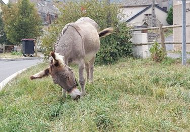
Wandern
Mountainbike
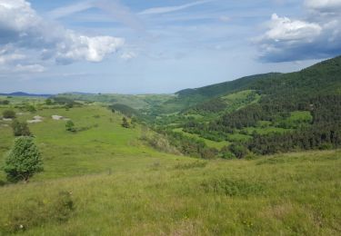
Wandern
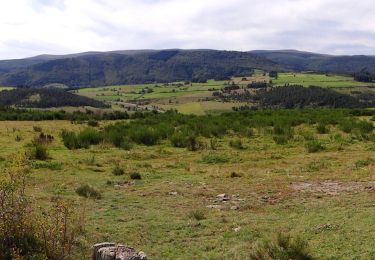
Wandern